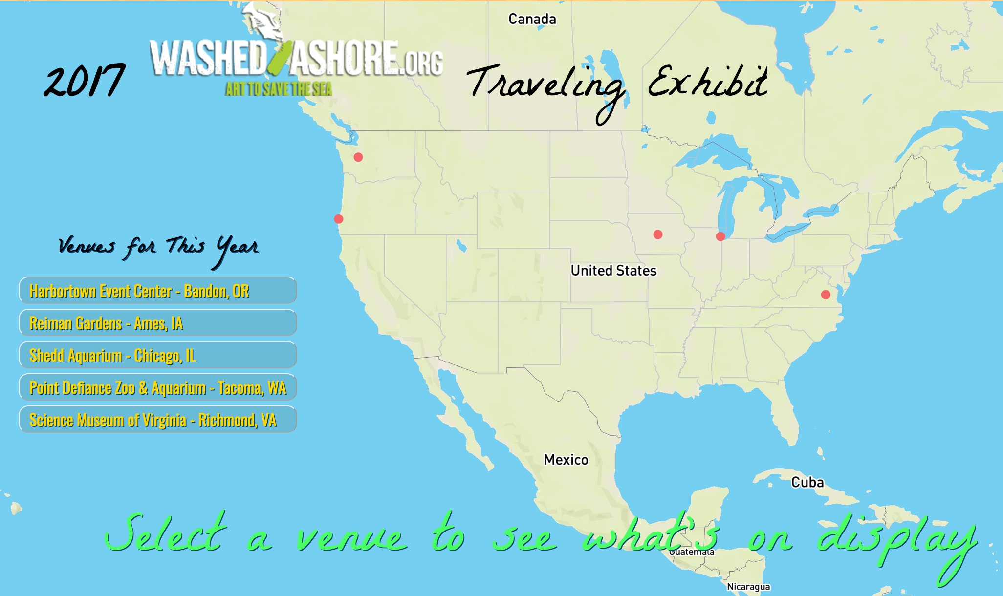
WashedAshore.org Traveling Exhibit Tracking Map
This application was designed on top of mapbox-gl with the use of jQuery and information provided by Washed Ashore. This organization is strongly rooted in arts education. I designed the map to have a playful and creative feel to it rather than have the focus be purely on data display.
- See the map: WashedAshore.org Traveling Exhibit Tracking Map
- Data Source: U.S. Department of Transportation
